
Hastings topographic map
Interactive map
Click on the map to display elevation.
About this map
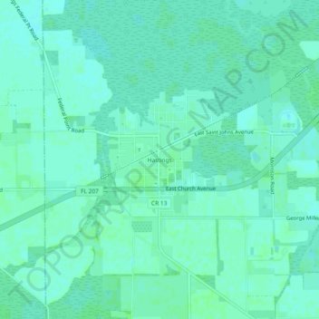
Name: Hastings topographic map, elevation, terrain.
Location: Hastings, St. Johns County, Florida, USA (29.69802 -81.52813 29.73802 -81.48813)
Average elevation: 4 m
Minimum elevation: 1 m
Maximum elevation: 7 m