
Highgate topographic map
Interactive map
Click on the map to display elevation.
About this map
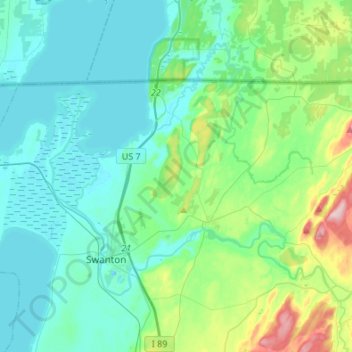
Name: Highgate topographic map, elevation, terrain.
Location: Highgate, Franklin County, Vermont, USA (44.91065 -73.17041 45.01596 -72.89969)
Average elevation: 69 m
Minimum elevation: 26 m
Maximum elevation: 260 m