
Peninjauan topographic map
Interactive map
Click on the map to display elevation.
About this map
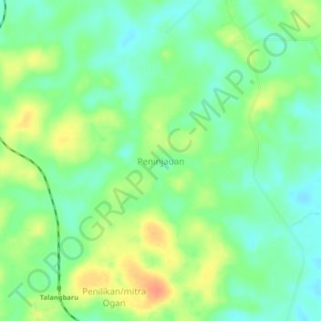
Name: Peninjauan topographic map, elevation, terrain.
Location: Peninjauan, Ogan Komering Ulu, South Sumatra, Indonesia (-3.84920 104.35599 -3.80920 104.39599)
Average elevation: 45 m
Minimum elevation: 28 m
Maximum elevation: 69 m