
Export topographic map
Interactive map
Click on the map to display elevation.
About this map
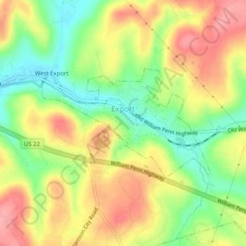
Name: Export topographic map, elevation, terrain.
Average elevation: 342 m
Minimum elevation: 289 m
Maximum elevation: 393 m
Ein Exportüberschuss führt zu einer aktiven Handelsbilanz mit Devisenzuflüssen, die die Währungsreserven verbessern und das Volkseinkommen erhöhen.