
Masimpur topographic map
Interactive map
Click on the map to display elevation.
About this map
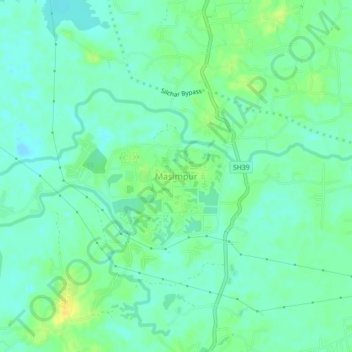
Name: Masimpur topographic map, elevation, terrain.
Location: Masimpur, Silchar, Cachar District, Assam, 788015, India (24.73736 92.76900 24.77736 92.80900)
Average elevation: 22 m
Minimum elevation: 13 m
Maximum elevation: 37 m
Other topographic maps
Click on a map to view its topography, its elevation and its terrain.