
Thank you for supporting this site ❤️
Make a donation
Make a donation
Reno topographic map
Click on the map to display elevation.
Thank you for supporting this site ❤️
Make a donation
Make a donation
About this map
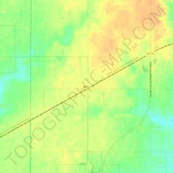
Name: Reno topographic map, elevation, terrain.
Location: Reno, Hendricks County, Indiana, 46121, United States (39.69032 -86.69028 39.73032 -86.65028)
Average elevation: 274 m
Minimum elevation: 254 m
Maximum elevation: 287 m
Thank you for supporting this site ❤️
Make a donation
Make a donation
Other topographic maps
Click on a map to view its topography, its elevation and its terrain.
Thank you for supporting this site ❤️
Make a donation
Make a donation
Thank you for supporting this site ❤️
Make a donation
Make a donation