
Rogel topographic map
Interactive map
Click on the map to display elevation.
About this map
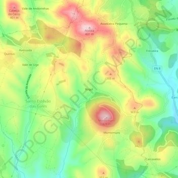
Name: Rogel topographic map, elevation, terrain.
Average elevation: 282 m
Minimum elevation: 166 m
Maximum elevation: 429 m
Other topographic maps
Click on a map to view its topography, its elevation and its terrain.
Aboboreira
Aboboreira, Mafra, Lissabon, 2665-004, Portugal
Average elevation: 86 m