
West Coffeyville topographic map
Interactive map
Click on the map to display elevation.
About this map
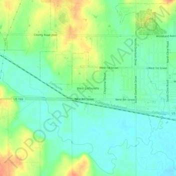
Name: West Coffeyville topographic map, elevation, terrain.
Location: West Coffeyville, Montgomery County, Kansas, 66337, USA (37.01897 -95.68998 37.05897 -95.64998)
Average elevation: 233 m
Minimum elevation: 216 m
Maximum elevation: 262 m