
Thank you for supporting this site ❤️
Make a donation
Make a donation
Elk Horn topographic map
Click on the map to display elevation.
Thank you for supporting this site ❤️
Make a donation
Make a donation
About this map
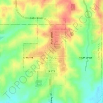
Name: Elk Horn topographic map, elevation, terrain.
Location: Elk Horn, Clay Township, Shelby County, Iowa, United States (41.58457 -95.06979 41.60217 -95.05516)
Average elevation: 407 m
Minimum elevation: 376 m
Maximum elevation: 435 m
Thank you for supporting this site ❤️
Make a donation
Make a donation
Other topographic maps
Click on a map to view its topography, its elevation and its terrain.