
Thank you for supporting this site ❤️
Make a donation
Make a donation
ManiMahesh Kailash topographic map
Click on the map to display elevation.
Thank you for supporting this site ❤️
Make a donation
Make a donation
About this map
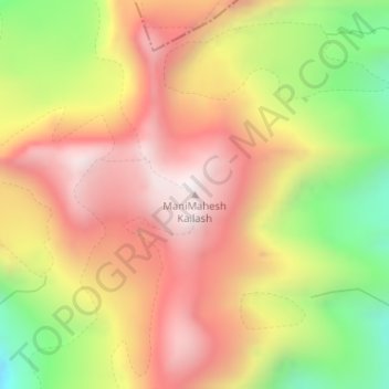
Name: ManiMahesh Kailash topographic map, elevation, terrain.
Location: ManiMahesh Kailash, Holi, Chamba, Himachal Pradesh, India (32.35099 76.65239 32.35109 76.65249)
Average elevation: 4,810 m
Minimum elevation: 4,235 m
Maximum elevation: 5,259 m
Thank you for supporting this site ❤️
Make a donation
Make a donation
Other topographic maps
Click on a map to view its topography, its elevation and its terrain.