
Amboli topographic map
Interactive map
Click on the map to display elevation.
About this map
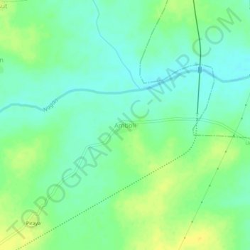
Name: Amboli topographic map, elevation, terrain.
Location: Amboli, Umred, Nagpur, Maharashtra, India (20.86762 79.33721 20.90762 79.37721)
Average elevation: 272 m
Minimum elevation: 262 m
Maximum elevation: 285 m
Other topographic maps
Click on a map to view its topography, its elevation and its terrain.
Umred
India > Maharashtra > Umred
Umred is located at 20° 51' 14N and 17° 19' 29E, at an elevation of 290 meters above sea level. It's STD code is 07116.
Average elevation: 281 m