
Thank you for supporting this site ❤️
Make a donation
Make a donation
Chornobyl topographic map
Click on the map to display elevation.
Thank you for supporting this site ❤️
Make a donation
Make a donation
About this map
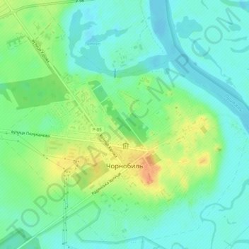
Name: Chornobyl topographic map, elevation, terrain.
Location: Chornobyl, Vyshhorod Raion, Kyiv Oblast, 07270, Ukraine (51.26105 30.19563 51.28992 30.24375)
Average elevation: 113 m
Minimum elevation: 99 m
Maximum elevation: 139 m
Thank you for supporting this site ❤️
Make a donation
Make a donation