
Thank you for supporting this site ❤️
Make a donation
Make a donation
Goulier topographic map
Click on the map to display elevation.
Thank you for supporting this site ❤️
Make a donation
Make a donation
Goulier
Propriété de la commune, le Relais d'Endron est une auberge de montagne à 1084 m d'altitude proche de la station de Goulier Neige avec 45 couverts, dortoir et chambres indépendantes.
Thank you for supporting this site ❤️
Make a donation
Make a donation
About this map
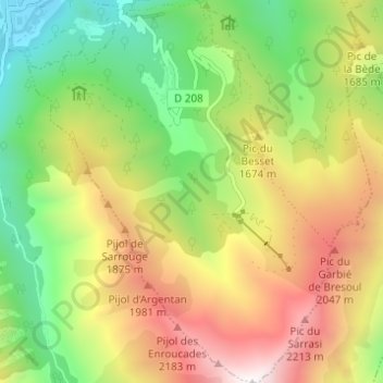
Name: Goulier topographic map, elevation, terrain.
Average elevation: 1,484 m
Minimum elevation: 733 m
Maximum elevation: 2,454 m
Thank you for supporting this site ❤️
Make a donation
Make a donation
Other topographic maps
Click on a map to view its topography, its elevation and its terrain.