
Rivière à Pierre topographic map
Interactive map
Click on the map to display elevation.
About this map
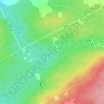
Name: Rivière à Pierre topographic map, elevation, terrain.
Average elevation: 521 m
Minimum elevation: 470 m
Maximum elevation: 595 m
Other topographic maps
Click on a map to view its topography, its elevation and its terrain.
Rivière Saint-Jean Sud-Ouest
Canada > Québec > Saint-Zacharie
Rivière Saint-Jean Sud-Ouest, 2e Rang, Saint-Zacharie, Les Etchemins, Chaudière-Appalaches, Québec, Canada
Average elevation: 510 m