
Thank you for supporting this site ❤️
Make a donation
Make a donation
Short topographic map
Click on the map to display elevation.
Thank you for supporting this site ❤️
Make a donation
Make a donation
About this map
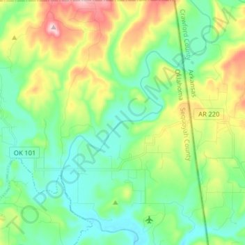
Name: Short topographic map, elevation, terrain.
Location: Short, Sequoyah County, Oklahoma, United States (35.53378 -94.53834 35.63852 -94.46003)
Average elevation: 221 m
Minimum elevation: 138 m
Maximum elevation: 410 m
Thank you for supporting this site ❤️
Make a donation
Make a donation
Other topographic maps
Click on a map to view its topography, its elevation and its terrain.