
Pedralba topographic map
Interactive map
Click on the map to display elevation.
About this map
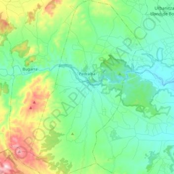
Name: Pedralba topographic map, elevation, terrain.
Location: Pedralba, La Serranía, Valencia, 46164, Spanje (39.53806 -0.77599 39.65476 -0.67758)
Average elevation: 241 m
Minimum elevation: 109 m
Maximum elevation: 623 m
Other topographic maps
Click on a map to view its topography, its elevation and its terrain.
Villar del Arzobispo
Spanje > Valencia > La Serranía
Villar del Arzobispo, La Serranía, Valencia, 46170, Spanje
Average elevation: 476 m