
Thank you for supporting this site ❤️
Make a donation
Make a donation
Mulino topographic map
Click on the map to display elevation.
Thank you for supporting this site ❤️
Make a donation
Make a donation
About this map
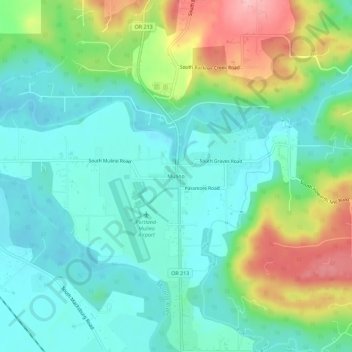
Name: Mulino topographic map, elevation, terrain.
Location: Mulino, Clackamas County, Oregon, 97042, United States (45.20151 -122.60203 45.24151 -122.56203)
Average elevation: 100 m
Minimum elevation: 56 m
Maximum elevation: 204 m
Thank you for supporting this site ❤️
Make a donation
Make a donation