La Fe topographic map
Interactive map
Click on the map to display elevation.
About this map
Name: La Fe topographic map, elevation, terrain.
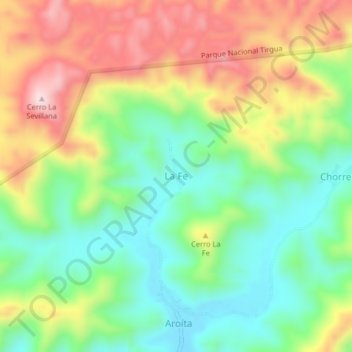
Average elevation: 348 m
Minimum elevation: 196 m
Maximum elevation: 563 m

Click on the map to display elevation.
Name: La Fe topographic map, elevation, terrain.
Average elevation: 348 m
Minimum elevation: 196 m
Maximum elevation: 563 m