
Thank you for supporting this site ❤️
Make a donation
Make a donation
La Source topographic map
Click on the map to display elevation.
Thank you for supporting this site ❤️
Make a donation
Make a donation
About this map
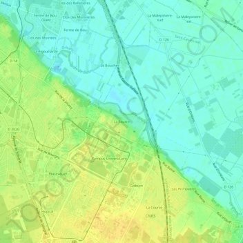
Name: La Source topographic map, elevation, terrain.
Average elevation: 101 m
Minimum elevation: 90 m
Maximum elevation: 114 m
Thank you for supporting this site ❤️
Make a donation
Make a donation
Other topographic maps
Click on a map to view its topography, its elevation and its terrain.
Parc Berthe Morisot
France > Centre-Val de Loire > Loiret > Orléans > L' Île Arrault
Average elevation: 105 m