
Sangha-Mbaéré topographic map
Interactive map
Click on the map to display elevation.
About this map
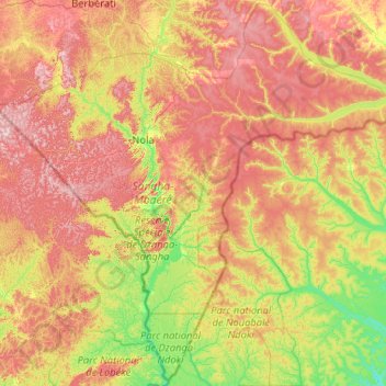
Name: Sangha-Mbaéré topographic map, elevation, terrain.
Location: Sangha-Mbaéré, République Centrafricaine (2.21566 15.33855 4.25605 17.41566)
Average elevation: 504 m
Minimum elevation: 334 m
Maximum elevation: 802 m