
Itawa topographic map
Interactive map
Click on the map to display elevation.
About this map
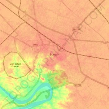
Name: Itawa topographic map, elevation, terrain.
Location: Itawa, Etawah, Etawah District, Uttar Pradesh, 206001, Indien (26.73807 78.98200 26.81807 79.06200)
Average elevation: 146 m
Minimum elevation: 109 m
Maximum elevation: 157 m