
Losenstein topographic map
Interactive map
Click on the map to display elevation.
About this map
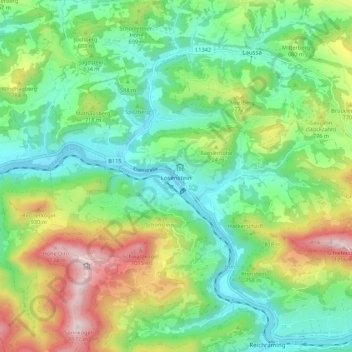
Name: Losenstein topographic map, elevation, terrain.
Location: Losenstein, Bezirk Steyr-Land, 4460, Österreich (47.90604 14.38327 47.94653 14.49199)
Average elevation: 605 m
Minimum elevation: 330 m
Maximum elevation: 1,173 m