
Mahanadi River topographic map
Interactive map
Click on the map to display elevation.
About this map
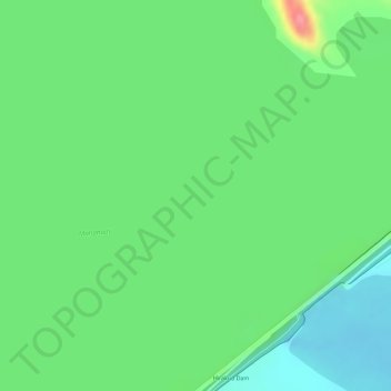
Name: Mahanadi River topographic map, elevation, terrain.
Location: Mahanadi River, Sambalpur, Odisha, 768018, India (21.53443 83.84608 21.54796 83.87497)
Average elevation: 185 m
Minimum elevation: 151 m
Maximum elevation: 243 m