
Thank you for supporting this site ❤️
Make a donation
Make a donation
Gajac topographic map
Click on the map to display elevation.
Thank you for supporting this site ❤️
Make a donation
Make a donation
About this map
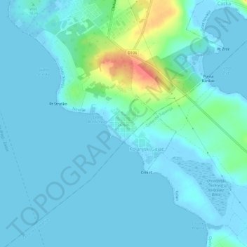
Name: Gajac topographic map, elevation, terrain.
Location: Gajac, Grad Novalja, Lika-Senj County, 53291, Croatia (44.51100 14.87655 44.55100 14.91655)
Average elevation: 8 m
Minimum elevation: -4 m
Maximum elevation: 58 m
Thank you for supporting this site ❤️
Make a donation
Make a donation