
幸福镇 topographic map
Interactive map
Click on the map to display elevation.
About this map
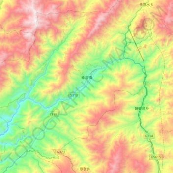
Name: 幸福镇 topographic map, elevation, terrain.
Location: 幸福镇, 云县, 临沧市, 云南省, 中国 (23.98582 99.71770 24.27502 100.07697)
Average elevation: 1,650 m
Minimum elevation: 764 m
Maximum elevation: 2,860 m