
Kokan Family Park topographic map
Interactive map
Click on the map to display elevation.
About this map
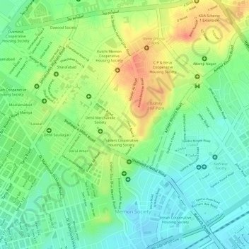
Name: Kokan Family Park topographic map, elevation, terrain.
Average elevation: 33 m
Minimum elevation: 9 m
Maximum elevation: 62 m
Other topographic maps
Click on a map to view its topography, its elevation and its terrain.
Kidney Hill Park
Pakistan > Sindh > Gulshan Town > Al Hamra
Kidney Hill Park, Al Hamra, Gulshan Town, Sindh, 75300, Pakistan
Average elevation: 34 m