
Verbier topographic map
Interactive map
Click on the map to display elevation.
About this map
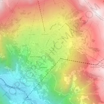
Name: Verbier topographic map, elevation, terrain.
Location: Verbier, Val de Bagnes, Entremont, Wallis, 1934, Switzerland (46.07610 7.20868 46.11610 7.24868)
Average elevation: 1,626 m
Minimum elevation: 801 m
Maximum elevation: 2,399 m