
Thank you for supporting this site ❤️
Make a donation
Make a donation
Ahju topographic map
Click on the map to display elevation.
Thank you for supporting this site ❤️
Make a donation
Make a donation
About this map
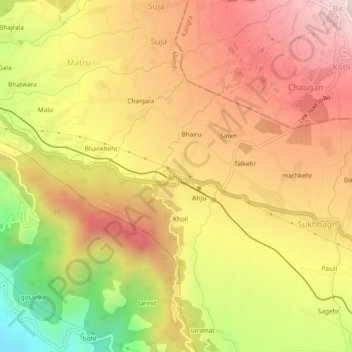
Name: Ahju topographic map, elevation, terrain.
Location: Ahju, Jogindarnagar, Mandi, Himachal Pradesh, 176077, India (32.00542 76.68380 32.04542 76.72380)
Average elevation: 1,281 m
Minimum elevation: 849 m
Maximum elevation: 1,594 m
Thank you for supporting this site ❤️
Make a donation
Make a donation