
Thank you for supporting this site ❤️
Make a donation
Make a donation
Sangade topographic map
Click on the map to display elevation.
Thank you for supporting this site ❤️
Make a donation
Make a donation
About this map
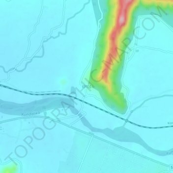
Name: Sangade topographic map, elevation, terrain.
Location: Sangade, Roha Taluka, Raigad, Maharashtra, 402116, India (18.42577 73.12758 18.46577 73.16758)
Average elevation: 19 m
Minimum elevation: 1 m
Maximum elevation: 169 m
Thank you for supporting this site ❤️
Make a donation
Make a donation