
Taling Chan District topographic map
Interactive map
Click on the map to display elevation.
About this map
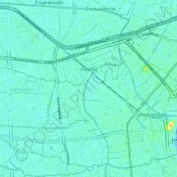
Name: Taling Chan District topographic map, elevation, terrain.
Location: Taling Chan District, Bangkok, 10170, Thailand (13.74001 100.40615 13.80130 100.46991)
Average elevation: 6 m
Minimum elevation: 0 m
Maximum elevation: 34 m
Other topographic maps
Click on a map to view its topography, its elevation and its terrain.