
ბრილი topographic map
Interactive map
Click on the map to display elevation.
About this map
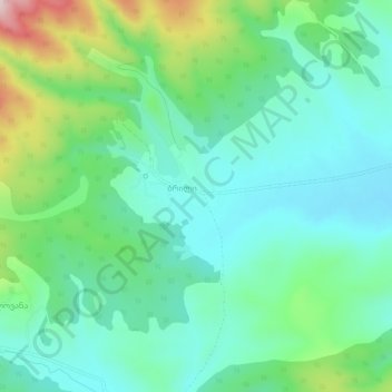
Name: ბრილი topographic map, elevation, terrain.
Location: ბრილი, Municipalité de Khachouri, Kartlie intérieure, Géorgie (42.05455 43.59381 42.09455 43.63381)
Average elevation: 812 m
Minimum elevation: 716 m
Maximum elevation: 1,084 m