
Hash topographic map
Interactive map
Click on the map to display elevation.
About this map
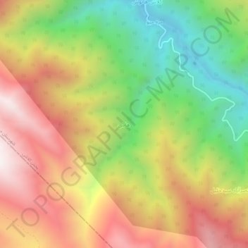
Name: Hash topographic map, elevation, terrain.
Location: Hash, بخش کلاشی, Javanrud County, Kermanshah Province, Iran (34.88611 46.13917 34.92611 46.17917)
Average elevation: 1,390 m
Minimum elevation: 773 m
Maximum elevation: 2,019 m