
Ans topographic map
Interactive map
Click on the map to display elevation.
About this map
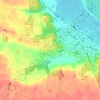
Name: Ans topographic map, elevation, terrain.
Location: Ans, Silkeborg Kommune, Jutland central, Danemark (56.29951 9.57035 56.31288 9.60139)
Average elevation: 41 m
Minimum elevation: 11 m
Maximum elevation: 68 m