
Vinkel topographic map
Interactive map
Click on the map to display elevation.
About this map
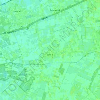
Name: Vinkel topographic map, elevation, terrain.
Location: Vinkel, 's-Hertogenbosch, Noord-Brabant, Nederland (51.68675 5.41768 51.72896 5.49966)
Average elevation: 6 m
Minimum elevation: 2 m
Maximum elevation: 10 m
Other topographic maps
Click on a map to view its topography, its elevation and its terrain.
Het Bossche Broek
Nederland > Noord-Brabant > 's-Hertogenbosch
Het Bossche Broek, 's-Hertogenbosch, Noord-Brabant, Nederland, 5216PZ, Nederland
Average elevation: 6 m
Bokhoven
Nederland > Noord-Brabant > 's-Hertogenbosch
Bokhoven, 's-Hertogenbosch, Noord-Brabant, Nederland, 5221, Nederland
Average elevation: 3 m
's-Hertogenbosch
Nederland > Noord-Brabant > 's-Hertogenbosch
's-Hertogenbosch, Noord-Brabant, Nederland, 5211JS, Nederland
Average elevation: 7 m
Binnendieze
Nederland > Noord-Brabant > 's-Hertogenbosch
Binnendieze, 's-Hertogenbosch, Noord-Brabant, Nederland, 5211NP, Nederland
Average elevation: 7 m