
Tahla topographic map
Interactive map
Click on the map to display elevation.
About this map
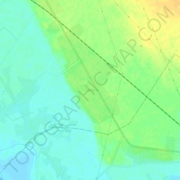
Name: Tahla topographic map, elevation, terrain.
Location: Tahla, Gouvernorat de Deir ez-Zor, Syrie (35.31428 40.22473 35.35428 40.26473)
Average elevation: 207 m
Minimum elevation: 196 m
Maximum elevation: 222 m