
Benavente topographic map
Interactive map
Click on the map to display elevation.
About this map
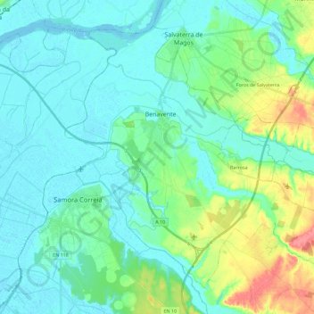
Name: Benavente topographic map, elevation, terrain.
Location: Benavente, Santarém, Lezíria do Tejo, Alentejo, Portugal (38.88494 -8.87838 39.03195 -8.65279)
Average elevation: 15 m
Minimum elevation: -2 m
Maximum elevation: 66 m