
Thank you for supporting this site ❤️
Make a donation
Make a donation
Green Valley topographic map
Click on the map to display elevation.
Thank you for supporting this site ❤️
Make a donation
Make a donation
About this map
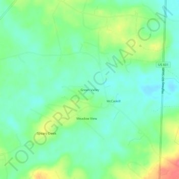
Name: Green Valley topographic map, elevation, terrain.
Location: Green Valley, Kershaw County, South Carolina, United States (34.10598 -80.73008 34.14598 -80.69008)
Average elevation: 59 m
Minimum elevation: 36 m
Maximum elevation: 104 m
Thank you for supporting this site ❤️
Make a donation
Make a donation