
Marengo Township topographic map
Interactive map
Click on the map to display elevation.
About this map
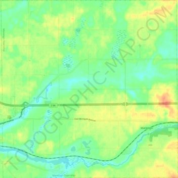
Name: Marengo Township topographic map, elevation, terrain.
Location: Marengo Township, Calhoun County, Michigan, United States (42.24665 -84.94559 42.33424 -84.82789)
Average elevation: 288 m
Minimum elevation: 269 m
Maximum elevation: 316 m