
Stocken topographic map
Interactive map
Click on the map to display elevation.
About this map
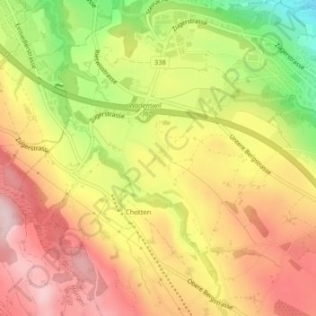
Name: Stocken topographic map, elevation, terrain.
Location: Stocken, Wädenswil, Bezirk Horgen, Zürich, 8820, Schweiz (47.22520 8.63447 47.22752 8.63707)
Average elevation: 586 m
Minimum elevation: 421 m
Maximum elevation: 706 m