
Meynard topographic map
Interactive map
Click on the map to display elevation.
About this map
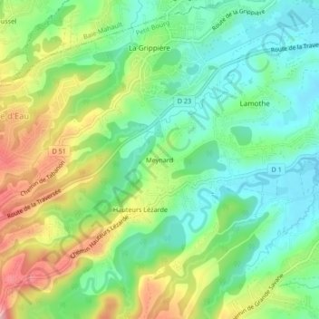
Name: Meynard topographic map, elevation, terrain.
Location: Meynard, Petit-Bourg, Basse-Terre, Guadeloupe, 97170, France (16.18260 -61.64987 16.22260 -61.60987)
Average elevation: 68 m
Minimum elevation: 5 m
Maximum elevation: 176 m