
Chandgad topographic map
Interactive map
Click on the map to display elevation.
About this map
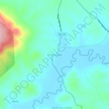
Name: Chandgad topographic map, elevation, terrain.
Location: Chandgad, Kolhapur, Maharashtra, India (15.92102 74.16247 15.96102 74.20247)
Average elevation: 733 m
Minimum elevation: 695 m
Maximum elevation: 896 m