
Thank you for supporting this site ❤️
Make a donation
Make a donation
Kabarondo topographic map
Click on the map to display elevation.
Thank you for supporting this site ❤️
Make a donation
Make a donation
About this map
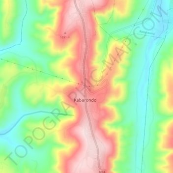
Name: Kabarondo topographic map, elevation, terrain.
Location: Kabarondo, Kayonza District, Eastern Province, Rwanda (-2.03410 30.55194 -1.98350 30.56458)
Average elevation: 1,524 m
Minimum elevation: 1,379 m
Maximum elevation: 1,699 m
Thank you for supporting this site ❤️
Make a donation
Make a donation