
Cócorit topographic map
Interactive map
Click on the map to display elevation.
About this map
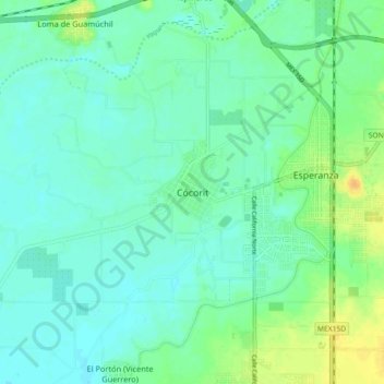
Name: Cócorit topographic map, elevation, terrain.
Location: Cócorit, Cajeme, Sonora, 85065, Mexico (27.53547 -109.99997 27.61547 -109.91997)
Average elevation: 34 m
Minimum elevation: 26 m
Maximum elevation: 52 m