
茶洞乡 topographic map
Interactive map
Click on the map to display elevation.
About this map
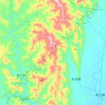
Name: 茶洞乡 topographic map, elevation, terrain.
Location: 茶洞乡, 临桂区, 桂林市, 广西壮族自治区, 中国 (25.18130 109.84215 25.41399 110.00027)
Average elevation: 460 m
Minimum elevation: 151 m
Maximum elevation: 1,352 m
Other topographic maps
Click on a map to view its topography, its elevation and its terrain.