
Rajpar topographic map
Interactive map
Click on the map to display elevation.
About this map
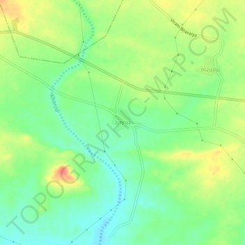
Name: Rajpar topographic map, elevation, terrain.
Location: Rajpar, Mandvi Taluka, Kachchh, Gujarat, 370405, India (23.07323 69.35214 23.11323 69.39214)
Average elevation: 126 m
Minimum elevation: 103 m
Maximum elevation: 157 m