
查尔玛乡 topographic map
Interactive map
Click on the map to display elevation.
About this map
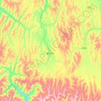
Name: 查尔玛乡 topographic map, elevation, terrain.
Location: 查尔玛乡, རྔ་བ་རྫོང་ 红原县, 阿坝藏族羌族自治州, Sichuan, China (32.28367 101.85188 32.62553 102.19108)
Average elevation: 3,715 m
Minimum elevation: 3,171 m
Maximum elevation: 4,370 m