
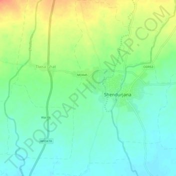
Shendurjana Ghat topographic map
Interactive map
Click on the map to display elevation.
About this map
Name: Shendurjana Ghat topographic map, elevation, terrain.
Location: Shendurjana Ghat, Warud, Amravati, Maharashtra, India (21.49830 78.27358 21.54455 78.30338)
Average elevation: 430 m
Minimum elevation: 411 m
Maximum elevation: 464 m