
Pöhlberg topographic map
Interactive map
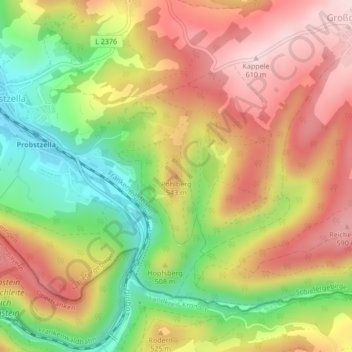
Click on the map to display elevation.
About this map
Name: Pöhlberg topographic map, elevation, terrain.
Average elevation: 483 m
Minimum elevation: 339 m
Maximum elevation: 609 m
Other topographic maps
Click on a map to view its topography, its elevation and its terrain.
Oberstein
Deutschland > Thüringen > Landkreis Saalfeld-Rudolstadt > Probstzella
Oberstein, Probstzella, Schiefergebirge, Landkreis Saalfeld-Rudolstadt, Thüringen, Deutschland
Average elevation: 424 m