
Thank you for supporting this site ❤️
Make a donation
Make a donation
Gondang topographic map
Click on the map to display elevation.
Thank you for supporting this site ❤️
Make a donation
Make a donation
About this map
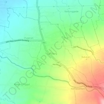
Name: Gondang topographic map, elevation, terrain.
Location: Gondang, Mojokerto, East Java, Indonesia (-7.62270 112.48634 -7.60703 112.49808)
Average elevation: 219 m
Minimum elevation: 162 m
Maximum elevation: 309 m
Thank you for supporting this site ❤️
Make a donation
Make a donation