
ขุนหาญ topographic map
Interactive map
Click on the map to display elevation.
About this map
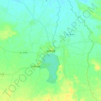
Name: ขุนหาญ topographic map, elevation, terrain.
Location: ขุนหาญ, สิ, Sisaket, 43150, Thaïlande (14.57784 104.38361 14.65784 104.46361)
Average elevation: 159 m
Minimum elevation: 151 m
Maximum elevation: 172 m
Other topographic maps
Click on a map to view its topography, its elevation and its terrain.